
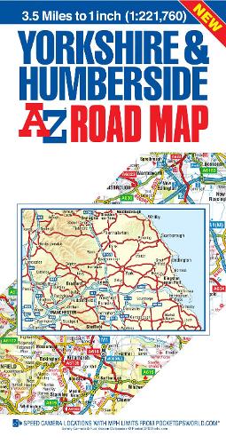
Yorkshire & Humberside Road Map
Synopsis
This A-Z map of Yorkshire and Humberside is a self-covered, double-sided road map which covers:
•Sheffield
•York
•Kingston upon Hull
•Leeds
•Bradford
The map extends to also cover:
•Brough
•Darlington
•Whitby
•Scarborough
•Bridlington
•Grimsby
•Mablethorpe
•Worksop
•Runcorn
•Manchester
•Bolton
•Blackburn
•St Helens
•Preston
•Lancaster
•Kendal
Printed at a scale of 2.2 kms to 1 cm (3.5 miles to 1 inch), the road map includes the following features:
•Motorways with full junction detail, primary routes and destinations, A & B roads, under construction and proposed roads, service areas, tolls, mileages, national, county and unitary authority boundaries.
•Selected safety camera locations with speed limits.
•Selected fuel stations.
•Selected places of interest and tourist information centres.
The index section, printed on the reverse, lists cities, towns, villages, hamlets and locations.
Publisher information
- Publisher: HarperCollins Publishers
- ISBN: 9781782573241
- Number of pages: 1
- Dimensions: 220 x 113 x 5 mm
- Weight: 129g
- Languages: English
Customer Reviews
You may also like...