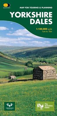
Yorkshire Dales: Map for Touring and Planning
Map Published on: 30/06/2007
Price: £7.95
Synopsis
This map provides a colourful overview of the Dales - famous Swaledale, Wensleydale, Wharfedale & Nidderdale. Colour shading makes it easy to pick out the hills & dales. Driveable roads are shown & steep hills marked. There is an introduction to each area, street plans of towns & lots of information on places to visit.
Publisher information
- Publisher: Harvey Map Services Ltd
- ISBN: 9781851374335
- Number of pages: 1
- Dimensions: 700 x 972 mm
- Languages: English
Customer Reviews
You may also like...
Skye Trail
Price: £16.50

Pocket Atlas of Remote Islands
Price: £22.00
Nottingham and District 1906
Price: £3.50

The Penguin Map of the World
Price: £8.99

Oxford Aerial Map and Guide
Price: £5.99
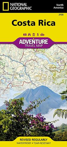
Costa Rica Map
Price: £14.95
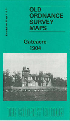
Gateacre 1904
Price: £3.50
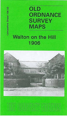
Walton on the Hill 1906
Price: £3.50


Scotland Map
Price: £14.95
Strangford Lough
Price: £10.99
Discover Cairngorms National Park
Price: £9.95

Korfu, Automap 1:50.000
Price: £12.90