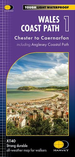
Wales Coast Path 1: Chester to Caernarfon including Anglesey Coastal Path
Synopsis
The Wales Coast Path is a 1400km (870 miles) long distance trail that follows, or runs close to, the entire coastline of Wales. It is an incredibly varied trail that offers rugged and unspoilt walking, colourful seaside villages, industrial archaeology, clifftops, beaches and unique heritage sites. 4 HARVEY maps cover the whole of the route. Each map covers a section of the Path suitable for about 2 weeks of walking. Map 1 covers the Path from the start in Chester to Caernarfon, and includes the whole of the Anglesey Coastal Path. From Chester, just across the border in England, you will walk a short distance to the border and the official start of the Wales Coast Path. Heading west across North Wales, you will pass through bustling seaside towns and sandy beaches, before reaching the Menai Strait and the island of Anglesey. Tough, light, durable and 100% waterproof Includes Rights of Way Genuine original HARVEY mapping Route clearly marked
Publisher information
- Publisher: Harvey Map Services Ltd
- ISBN: 9781851376605
- Number of pages: 1
- Dimensions: 245 x 115 mm
- Weight: 50g
- Languages: English
Customer Reviews
You may also like...