Synopsis
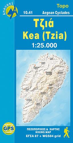
Mountainous Kea, with stands of evergreen oak trees, olive and almond groves, many springs, and beautiful stone-laid paths, is ideal for hikers. Many paths are way-marked and lead to pretty, isolated beaches
Anavasi has been at the forefront of developments in Greek cartography since the publication of its first map in 1997.
It remains the only Greek cartographic company to use scientific methods for the collection of field data and map composition, using GPS and Geographic Information Systems (GIS) for the organization and processing of data in over 100 thematic levels and creating databases on a national scale.
Anavasi was the first company to establish the use of the Greek Geodetic Reference System (EGSA 87) for maps (Topo series), and with the use of GIS was able to project on the maps precise coordinates for WGS84, the worldwide reference system for GPS. With a series of informative pamphlets and seminars, Anavasi has contributed to spreading knowledge of reference systems and other matters of interest
Publisher information
- Publisher: Anavasi
- ISBN: 9789608195820
- Number of pages: 1
- Dimensions: 230 x 120 mm
- Languages: English