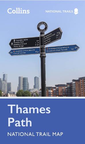
Thames Path National Trail Map
Map Published on: 16/02/2023
Price: £6.99
Synopsis
Perfect guide and map for planning your adventure along the Thames Path.
Highlights of this Planning Map include:
- More than 20 highlighted places of interest with detailed descriptions and attractive photographs, including: Tower Bridge, Hampton Court Palace, and Kew Gardens
- A comprehensive index to more than 800 cities, towns and villages
- A clear, visible route plotted across the map
- Advice on safety and security when travelling along the route, as well as the countryside code and the code of conduct
Part of the National Trail network, this long distance footpath covers 184 miles (296 km) and follows the length of England’s longest river, the Thames, from its source in the Cotswolds to the Thames Barrier in Greenwich, London. A suggested walking itinerary makes it easy for users to plan their journey along this popular route.
Publisher information
- Publisher: HarperCollins Publishers
- ISBN: 9780008602963
- Dimensions: 198 x 115 x 4 mm
- Weight: 60g
- Languages: English
Customer Reviews
You may also like...

Skye Trail
Price: £16.50
South Downs Way
Price: £16.50
Cumbria Way
Price: £16.50

The Penguin Map of the World
Price: £8.99

Anfield 1908
Price: £3.50

Tenerife, Automap 1:50.000
Price: £12.90

Oxford Aerial Map and Guide
Price: £5.99

The Munros Map
Price: £5.75
Great Glen Way
Price: £16.50
Manchester City Centre 1849
Price: £3.50

Scotland Map
Price: £14.95

Strangford Lough
Price: £10.99

Discover Cairngorms National Park
Price: £9.95

Korfu, Automap 1:50.000
Price: £12.90