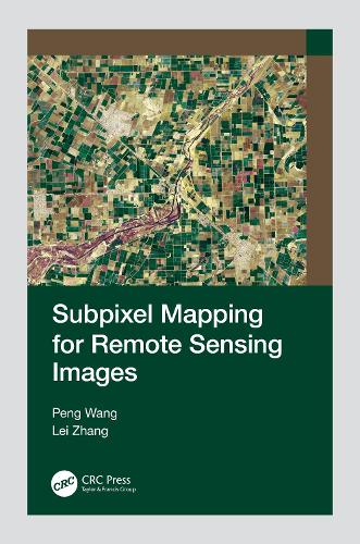
Subpixel Mapping for Remote Sensing Images
Synopsis
Subpixel mapping is a technology that generates a fine resolution land cover map from coarse resolution fractional images by predicting the spatial locations of different land cover classes at the subpixel scale. This book provides readers with a complete overview of subpixel image processing methods, basic principles, and different subpixel mapping techniques based on single or multi-shift remote sensing images. Step-by-step procedures, experimental contents, and result analyses are explained clearly at the end of each chapter. Real-life applications are a great resource for understanding how and where to use subpixel mapping when dealing with different remote sensing imaging data.
This book will be of interest to undergraduate and graduate students, majoring in remote sensing, surveying, mapping, and signal and information processing in universities and colleges, and it can also be used by professionals and researchers at different levels in related fields.
Publisher information
- Publisher: Taylor & Francis Ltd
- ISBN: 9781032245225
- Number of pages: 268
- Dimensions: 234 x 156 mm
- Weight: 480g
- Languages: English
Customer Reviews
You may also like...