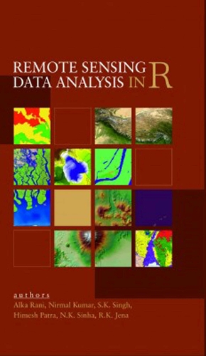
Remote Sensing Data Analysis in R
Synopsis
This book offers a comprehensive and detailed guide for users to perform remote sensing and GIS operations using free and open-source software, specifically R. It is suitable for users who have a basic understanding of remote sensing and GIS but have limited knowledge of R software. The book introduces the R software and provides step-by-step instructions for downloading and installing it. It offers R-codes for tasks such as loading and plotting both raster and vector data, pre-processing and filtering raster data, processing vector data, unsupervised and supervised classification of raster data, and thematic mapping of both raster and vector data. Furthermore, it provides R-codes for advanced machine learning algorithms like random forest and support vector machine for supervised classification of raster data. This book is ideal for users who do not have access to expensive paid software for GIS and digital image processing. An additional DVD with sample data for practice is included, allowing users to gain hands-on experience with the R-codes provided in the book. This book can also serve as a useful training manual for performing digital image analysis and GIS operations using R software.
Publisher information
- Publisher: New India Publishing Agency
- ISBN: 9789389571790
- Number of pages: 364
- Dimensions: 229 x 152 mm
- Weight: 720g
- Languages: English
Customer Reviews
You may also like...