Synopsis
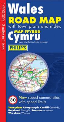
This double-sided map is designed for long-distance driving, and is a convenient size for opening out on a table or in a vehicle.New to this edition are speed camera sites with corresponding speed limits.Wales is shown at 1:200 000 (3 miles to 1 inch), an ideal scale for long-distance driving, with major routes and destinations picked out in bold colours. Major towns and cities are shown with their Welsh names and are cross-referenced in the index.Town-centre plans are provided for Aberystwyth, Cardiff, Holyhead, Swansea and Wrexham.For holiday planning, the map highlights scenic routes and shows car ferry routes, along with camp sites, national parks and many other places of interest.
Publisher information
- Publisher: Octopus Publishing Group
- ISBN: 9780540091034
- Dimensions: 250 x 130 x 6 mm
- Weight: 99g
Customer Reviews
You may also like...
Skye Trail
Price: £16.50
Cape Wrath Trail South
Price: £17.95
Pocket Atlas of Remote Islands
Price: £22.00
South Downs Way
Price: £16.50
Nottingham and District 1906
Price: £3.50

The Penguin Map of the World
Price: £8.99
The Munros Map
Price: £5.75
Costa Rica Map
Price: £14.95
Manchester City Centre 1849
Price: £3.50


Scotland Map
Price: £14.95
Strangford Lough
Price: £10.99

Montenegro Road Map 1:150 000
Price: £12.90