Synopsis
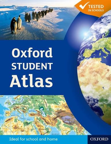
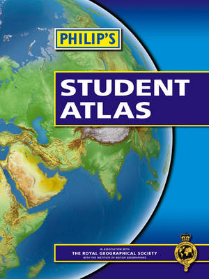
"Philip's Student Atlas" has been specially created for lower-secondary geography students (11-14 year olds). It is ideal for work leading up to GCSE (England and Wales) and Standard Grade (Scotland): National Curriculum Key Stage 3. The maps have been carefully designed so they are uncluttered and easy to read, containing specially selected place names and detail. A clear set of symbols and scale information accompanies each map and there is a useful introductory section covering basic atlas skills, including aerial photographs and satellite images to further explain particular features on the maps. Fully up-to-date, the atlas comprises a 16-page UK and Ireland section and a 42-page World section. Detailed regional maps, charts and satellite images of Europe, Italy, the Middle East, China, Japan, Kenya, USA, Brazil, and the Arctic and Antarctica are included, focusing on areas of special interest for students of geography, such as Japan's volcanoes and earthquakes, conservation in Kenya, and water supply in the USA.
"Philip's Student Atlas" is ideal for special project work, featuring an informative section of world thematic maps on the environment, climate change, people, quality of life, and energy. Latitude and longitude co-ordinates are included in the index, alongside figure-letter references.
Publisher information
- Publisher: Octopus Publishing Group
- ISBN: 9780540092529
- Dimensions: 301 x 226 x 7 mm
- Weight: 416g
Customer Reviews
You may also like...