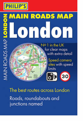
Philip's Main Roads Map London
Synopsis
The map is at the scale of 1.2 inches to 1 mile, and ultra-clear, with minor roads and side streets omitted. This means all major roads can be clearly named and numbered. All key road junctions and roundabouts are named, along with all the local area names. Also shown are speed camera sites with speed limits, tube and rail stations, shopping centres, industrial estates, hospitals, schools, universities and airports. The map shows the Congestion Charge Zone including the westward extension. All these features are essential for London drivers. The major tourist attractions of London are also shown, along with tourist information centres. The map is ideal for exploring and getting to know the capital - one map, which neatly folds away, shows the full extent of London. A comprehensive index is included on the map.
Publisher information
- Publisher: Octopus Publishing Group
- ISBN: 9780540090624
- Dimensions: 301 x 206 x 8 mm
- Weight: 340g
Customer Reviews
You may also like...