
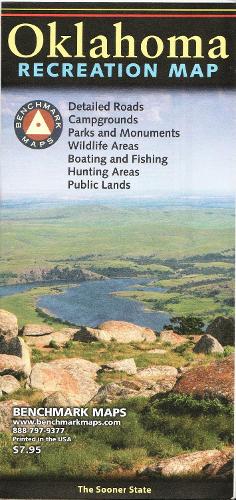
Oklahoma Recreation Map
Map Published on: 01/01/2016
Price: £8.99
Synopsis
The Oklahoma Recreation Map is the first map product to accurately represent The Sooner State's highway detail and the richness of recreation opportunities. One side provides a full state map that features Public & Tribal Lands, land cover (forest, grassland, cropland, & wetland), extensive highway networks, point-to-point mileages, recreation sites, Roadside America attractions, campgrounds, parks & wildlife areas, boating & fishing access points, and public hunting areas. The reverse side features categorized recreation listings with helpful descriptions, current contact information, and map grid references.
Publisher information
- Publisher: Benchmark Maps
- ISBN: 9780783499208
- Number of pages: 1
- Dimensions: 225 x 100 mm
- Weight: 40g
- Languages: English
Customer Reviews
You may also like...

London Underground By Design
Price: £28.00
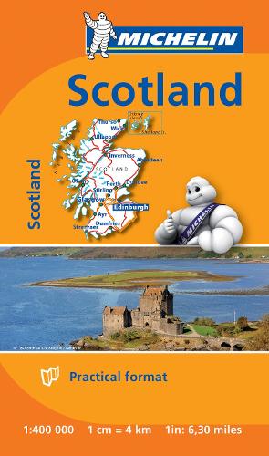
Scotland - Michelin Mini Map 8501
Price: £2.99
France - Michelin Mini Map 8721
Price: £2.99

Oxford Aerial Map and Guide
Price: £5.99
The Munros Map
Price: £5.75
Canada West Map
Price: £14.95

City Map and Guide of Norwich
Price: £2.00

Royal Leamington Spa
Price: £2.75