
Synopsis
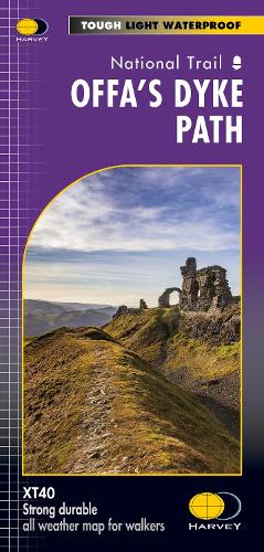
Offa's Dyke Path Entire route on one mapOffa's Dyke Path is a National Trail 285km long (177 miles) along the border between Wales and England. The route runs from Chepstow in the south to Prestatyn on the north Wales coast.Offa was a famous king of Mercia from 757 to 796, ruling an area stretching across a large part of England.Offa's Dyke Path runs from sea to sea - the Severn Estuary to Liverpool Bay. For about 112km (70 miles) the Path follows the course of what was originally an 8m ditch and rampart. Castles, forts and historic sites dot the route.Tough, light, durable and 100% waterproof
Publisher information
- Publisher: Harvey Map Services Ltd
- ISBN: 9781851376193
- Number of pages: 1
- Dimensions: 245 x 115 mm
- Weight: 52g
- Languages: English
Customer Reviews
You may also like...

Cairngorms and Lochnagar
Price: £18.95

Pocket Atlas of Remote Islands
Price: £22.00
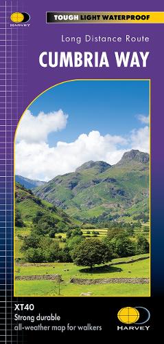
Cumbria Way
Price: £16.50

The Penguin Map of the World
Price: £8.99

Tenerife, Automap 1:50.000
Price: £12.90

Oxford Aerial Map and Guide
Price: £5.99
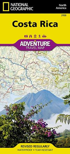
Costa Rica Map
Price: £14.95
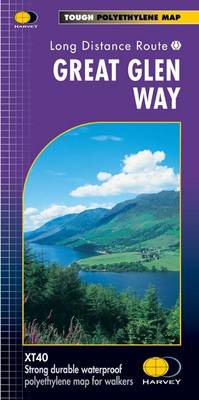
Great Glen Way
Price: £16.50


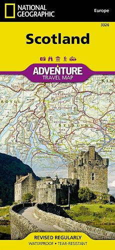
Scotland Map
Price: £14.95
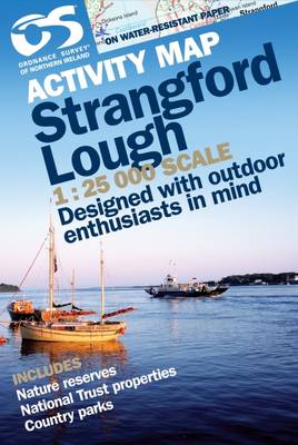
Strangford Lough
Price: £10.99

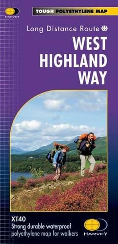
West Highland Way
Price: £16.50
Korfu, Automap 1:50.000
Price: £12.90