
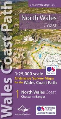
North Wales Coast Path Map: 1:25,000 Ordnance Survey maps for the Wales Coast Path
Paperback Published on: 02/03/2022
Price: £9.99
Synopsis
One of seven handy, lightweight, pocket sized map books covering the whole of the 870 mile/1400 kilometre Wales Coast Path. This volume covers North Wales from Chester to Bangor and includes enhanced large scale (1:25,000) Ordnance Survey mapping in a handy atlas format, with extracts from large scale Explorer maps 266, 265, 264 and OL17. The official route of the Wales Coast Path is highlighted and on-map symbols show amenities at main towns and villages. There is an introduction and additional useful information.
Publisher information
- Publisher: Northern Eye Books
- ISBN: 9781908632586
- Number of pages: 48
- Dimensions: 215 x 107 mm
- Weight: 82g
- Languages: English
Customer Reviews
You may also like...
The Peak District
Price: £12.99

Landlines
Price: £10.99

A Philosophy of Walking
Price: £10.99
London: A Guide for Curious Wanderers
Price: £14.99

The Surrey Hills
Price: £6.99
How to Read a Tree
Price: £12.99

Homeward Bound
Price: £22.00

The Hidden Seasons
Price: £22.00

Zoe Tehrani's Britain, A Walker's Guide
Price: £30.00

Wild Peaks
Price: £20.00

The Path More Travelled
Price: £25.00

The Walking Cure
Price: £10.99
Walk
Price: £25.00
Lone Wolf
Price: £11.99

The Hidden Seasons
Price: £10.99