
Synopsis
The A-Z Mini Map series is the perfect combination of detailed large scale city or town centre mapping folded into a compact 105mm x 65mm pocket sized cover.
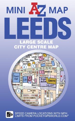
This A-Z map of Leeds City Centre is a full colour, double-sided, A3 fold-out mini map.
Side one features a large scale street map of central Leeds shown at a clear 10.33 inches to 1 mile (16.32 cm to 1km), which extends to include:
•Leeds Cathedral
•Leeds First Direct Arena
•University of Leeds (Woodhouse Lane)
•Leeds railway station
•Inner city shopping areas including, Merrion Centre, Trinity, Kirkgate Market and Victoria Gate
The reverse side features:
•Street map plan of the area surrounding Leeds United FC (Elland Road)
•Street map plan of the area surrounding Headingley (Yorkshire Co. Cricket Club)
•Road map of the Leeds area
•Reference panel
•Large scale street map index listing streets, selected flats, walkways, selected places of interest, railway stations and hospitals.
A & B roads, minor roads, one-way streets, safety camera locations with maximum speeds, selected places of interest and a wide range of ancillary information are featured on the street mapping.
This pocket sized mini map of Leeds is ideal for residents, students and visitors wishing to explore this vibrant city.
Publisher information
- Publisher: HarperCollins Publishers
- ISBN: 9781782570790
- Number of pages: 1
- Dimensions: 105 x 65 x 4 mm
- Weight: 17g
- Languages: English
Customer Reviews
You may also like...