

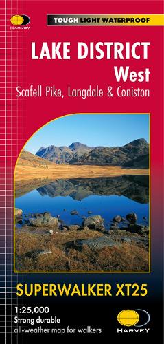
Lake District West: Scafell Pike, Langdale & Coniston XT25
Map Published on: 02/08/2024
Price: £15.95
Synopsis
Scafell and the Langdale Pikes, and fells west of the Kendal-Keswick road.
Detailed map for hillwalkers of the challenging western fells of the Lake District National Park at the popular 1:25,000 scale.
Hard Knott and Wrynose Passes. Ennerdale, Wast Water and Coniston Water.
Includes 74 Wainwrights.
Tough, light, durable and 100% waterproof
Genuine, original, HARVEY mapping
Includes Rights of Way
Opens directly to either side of the sheet
Easy to re-fold
Technical Specification
- Scale: 1:25,000
- Ratio: 4cm = 1km
- Flat size: 1392 x 486mm
- Folded size: 116 x 243mm
- Weight: 60gms
- Area of mapping: 709sqkm
- Double sided
Publisher information
- Publisher: Harvey Map Services Ltd
- ISBN: 9781851376919
- Dimensions: 243 x 116 mm
- Weight: 60g
Customer Reviews
You may also like...
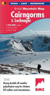
Cairngorms and Lochnagar
Price: £18.95
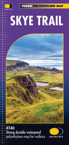
Skye Trail
Price: £16.50

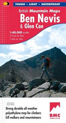
Ben Nevis and Glen Coe
Price: £18.95
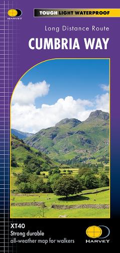
Cumbria Way
Price: £16.50

Oxford Aerial Map and Guide
Price: £5.99
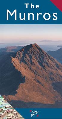
The Munros Map
Price: £5.75
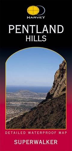
Pentland Hills XT25
Price: £15.95
Renfrew 1895
Price: £3.50
Southern Highlands
Price: £17.50
Scotland Map
Price: £14.95
Lough Erne
Price: £8.99

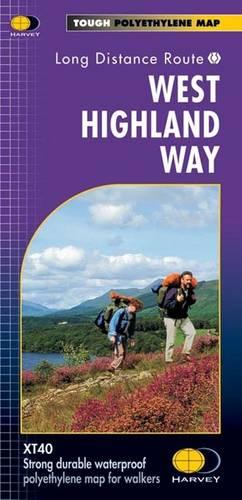
West Highland Way
Price: £16.50
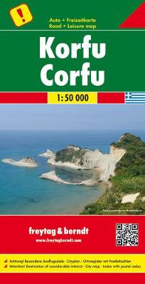
Korfu, Automap 1:50.000
Price: £12.90