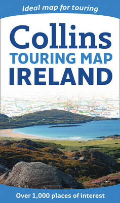
Ireland Touring Map
Synopsis
Full colour map at 7.5 miles to 1 inch with a special emphasis on places of tourist interest in addition to a detailed road network. The shape of the land is shown by the use of attractive hillshading. MAIN FEATURES: This map has a handy touring scale of 7.5 miles to 1 inch (1:475,200). It has over 20 categories of tourist information depicted on the map by clear, colourful red and yellow symbols. There is a full index to place names and places of interest. INCLUDES: * Hillshading shows the shape of the landscape. * All classified and most minor roads. * Railway network and ferry routes. * Viewpoints and sandy beaches. * Speed enforcement zones and safety camera locations. AREA OF COVERAGE: Covering the whole of Ireland this map is ideal for the tourist or holiday-maker who requires a route planning map plus tourist features.
Publisher information
- Publisher: HarperCollins Publishers
- ISBN: 9780007320752
- Dimensions: 237 x 139 x 13 mm
- Weight: 120g
Customer Reviews
You may also like...