Synopsis
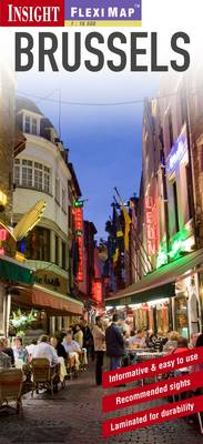
"Fleximap Brussels" is a laminated, tear-resistant map which includes 3 maps, each accompanied by separate indexes, categorized for ease of use. The main map depicts Brussels at a scale of 1:15 000 and clearly identifies metro stations, places of interest, public buildings and selected hotels. The city centre is show in an enlarged map at a scale of 1:10 000. The Brussels area is shown at a scale of 1:300 000, this map includes road and rail networks and also identifies places of interest. In addition, there is a plan of the metro system which is located on the back cover for easy access. In addition to the mapping, "Fleximap Brussels" also gives a list - with descriptions and some photographs - of 25 recommended sights, divided by theme and linked to the mapping by numbered markers. There is also a handy information section with concise details on getting around, tourist offices, money, tipping, opening times, public holidays, telecommunications, emergency telephone numbers and climate.
Publisher information
- Publisher: APA Publications
- ISBN: 9781780054186
- Dimensions: 220 x 103 x 8 mm
- Weight: 52g
Customer Reviews
You may also like...