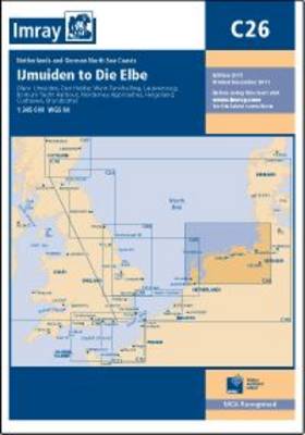
Imray Chart C26: Ijmuiden to Die Elbe
Map Published on: 01/09/2013
Price: £19.00
Synopsis
Plans included: IJmuiden (1:35,000) Den Helder (1:21,000) West -Terschelling (1:20,000) Lauwersoog (1:15,000) Borkum Yacht Harbour (1:25,000) Norderney Approaches (1:66,000) Helgoland (1:25,000) Cuxhaven (1:12,500) Brunsbuttel (1:12,500) This 2013 edition shows full details of the new and improved routeing measures off the coast of the Netherlands, as implemented on 1st August 2013. The latest known depths have been applied where necessary.
Publisher information
- Publisher: Imray,Laurie,Norie & Wilson Ltd
- ISBN: 9781846235641
- Number of pages: 1
- Dimensions: 295 x 210 x 3 mm