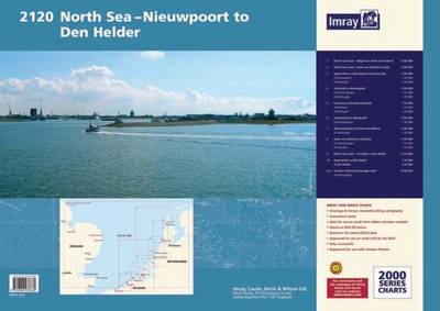
Imray Chart Atlas 2120: North Sea - Nieuwpoort to den Helder (Including North Sea Passage)
Synopsis
Imray's popular small format A2 coverage is being extended to cover the Netherlands. These A2 format atlases use the very latest Netherlands Hydrographic Office data at medium and large scales. Imray charts are long established in the Netherlands and are regarded as the first choice for yachts based there. This new series is a natural extension of our present coverage.Coverage includes1. North Sea Coast - Nieuwpoort to Hoek Van Holland Scale 1:300,0002. North Sea Coast - Hoek van Holland to Texel Scale 1:300,0003. Approaches to Nieuwpoort and Oostende Scale 1:100,00. Plans Niewpoort Scale 1:30,0000 and Oostende 1:20,0004. Oostende to Westkapelle 1:100,000. Plans Blankenberge scale 1:15,000 and Zeebrugge Scale 1:35,0005. Entrance to the Westerschelde Scale 1:50,000. Plans Breskens 1:15,000 and Vlissingen scale 1:20,0006. Westkapelle to Westhoofd scale 1:100,000. Plans Roompotsluis scale 1:30,0007. West Schouwen to Hoek van Holland scale 1:100,000. Plan Stellendam 1:30,0008. Hoek van Holland to IJmuiden scale 1:125,000. Plans Scheveningen scale 1:15,000 and IJmuiden scale 1:35,0009. IJmuiden to Den Helder Scale 1:125,00010. Approaches to Den Helder Scale 1:50,000.Plan Den Helder scale 1:20,000Southern North Sea passage chart scale 1:500,000
Publisher information
- Publisher: Imray, Laurie, Norie & Wilson Ltd
- ISBN: 9781846237669
- Number of pages: 13
Customer Reviews
You may also like...