

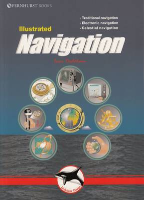
Illustrated Navigation
Paperback Published on: 30/09/2004
Price: £13.95
Synopsis
This beautifully illustrated manual teaches you to navigate in the traditional way - using compass, log and plotter; by means of electronic aids - like GPS, radar and chartplotter; and some basic celestial navigation - using the sun and stars to obtain your position using sextant, almanacs, tables and a watch. Within the book short, concentrated pieces of text are brought to life by numerous diagrams and graphics - making this an easy and memorable read.
Publisher information
- Publisher: Fernhurst Books Limited
- ISBN: 9781904475132
- Number of pages: 84
- Dimensions: 235 x 181 x 7 mm
- Weight: 258g
Customer Reviews
You may also like...

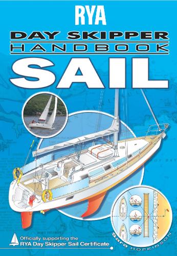
RYA Day Skipper Handbook - Sail
Price: £21.49
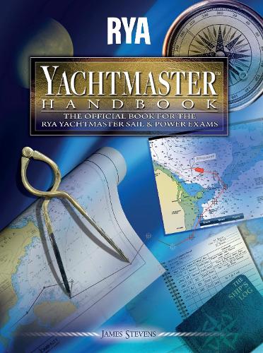
RYA Yachtmaster Handbook
Price: £21.49

Yachting Monthly 200 Skipper's Tips
Price: £11.99

Ttidal Stream Atlas North Ireland and West Scotland
Price: £44.00

We, the Navigators
Price: £26.99

The Yachtsman's Tidal Atlas
Price: £12.99

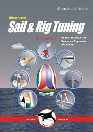
Illustrated Sail & Rig Tuning
Price: £14.99
Navigator's Log Book
Price: £13.75

The Solent and Adjacent Waters
Price: £8.65

Knot Know-How
Price: £9.99
RYA Introduction to Radar
Price: £10.49

RYA Navigation Exercises
Price: £23.99