

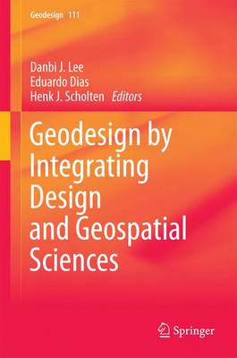
Geodesign by Integrating Design and Geospatial Sciences
Synopsis
In Europe, the emerging discipline of geodesign was earmarked by the first Geodesign Summit held in 2013 at the GeoFort, the Netherlands. Here researchers and practitioners from 28 different countries gathered to exchange ideas on how to merge the spatial sciences and design worlds. This book brings together experiences from this international group of spatial planners, architects, landscape designers, archaeologists, and geospatial scientists to explore the notion of ‘Geodesign thinking’, whereby spatial technologies (such as integrated 3D modelling, network analysis, visualization tools, and information dashboards) are used to answer ‘what if’ questions to design alternatives on aspects like urban visibility, flood risks, sustainability, economic development, heritage appreciation and public engagement. The book offers a single source of geodesign theory from a European perspective by first introducing the geodesign framework, then exploring various case studies on solving complex, dynamic, and multi-stakeholder design challenges. This book will appeal to practitioners and researchers alike who are eager to bring design analysis, intelligent planning, and consensus building to a whole new level.
Publisher information
- Publisher: Springer International Publishing AG
- ISBN: 9783319082981
- Number of pages: 369
- Dimensions: 235 x 155 mm
- Languages: English