Synopsis
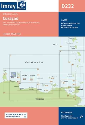
Imray-Iolaire charts for Caribbean are widely acknowledged as the best available for the cruising sailor. They combine the latest official survey Digital with first-hand information gathered over 60 years of research by Don Street Jr and his wide network of contributors. Like all Imray charts, they are printed on water resistant Pretex paper for durability, and they include many anchorages, facilities and inlets not included on official charts. Netherlands Antilles Plans include: Willemstad & Schottegat Piscaderabaai Santa Marta Baai Spaanse Water
Publisher information
- Publisher: Imray, Laurie, Norie & Wilson Ltd
- ISBN: 9780852888896
- Number of pages: 1
- Dimensions: 320 x 230 mm
- Weight: 150g
- Languages: English