Collins Lake District Map
Synopsis
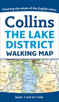
This map at a scale of 1 inch to 1 mile (1:63 360), popular with walkers and visitors to the Lake District, features detailed layer-coloured mapping on one easy-to-use sheet. The attractive layer tints, contour lines and spot heights give an accurate indication of the rise and fall of the ground.
The attractive Bartholomew mapping shows all the major features, making it perfect for exploring the Lake District.
Map of central Lakeland from Gosforth in the west to Kendal in the east and Cockermouth in the north to Broughton in Furness in the south.
The map includes:
* Roads, tracks, paths, youth hostels.* Lake District National Park visitor centres and information points.* Layer-coloured mapping showing land height.* Internet links and other sources for further information.
The Lake District National Park is one of Britain's top tourist attractions. This map is an ideal guide to the whole area which includes England's highest mountain (Scafell Pike) and deepest lake (Wast Water).
Publisher information
- Publisher: HarperCollins Publishers
- ISBN: 9780007490509
- Dimensions: 215 x 122 x 7 mm
- Weight: 90g
Customer Reviews
You may also like...