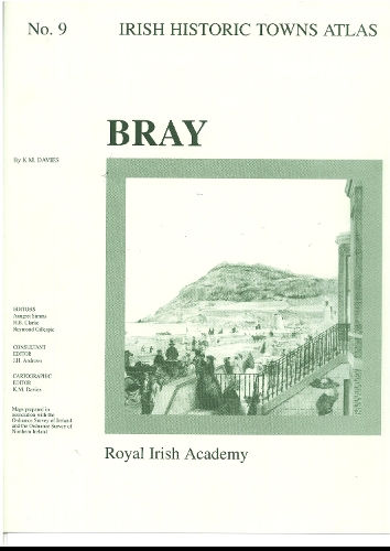
Bray: Irish Historic Towns Atlas, no. 9
Synopsis
Number 9 in the Irish Historic Towns Atlas series, Bray traces the history of this Anglo-Norman and later nineteenth-century town through its cartographic and primary sources from earliest times up to about 1900. The fascicle contains Ordnance Survey and historical maps as well as historic and aerial photographs. An essay describes the topographical evolution of Bray and a gazetteer or topographical information includes histories of over 200 sites in the town. 2 pages of coloured maps 410 mm x 610 mm; 4 pages of coloured maps and plates 410 mm x 305 mm; 3 pages of black-and-white maps and plates and 16 pages of text 410 mm x 305 mm; in a folder 410 mm x 305 mm. Author: K.M. Davies; Series editors: Anngret Simms, H.B. Clarke, Raymond Gillespie; Consultant editor: J.H. Andrews; Cartographic editor: K.M. Davie
Publisher information
- Publisher: Royal Irish Academy
- ISBN: 9781874045649
- Number of pages: 16
- Dimensions: 410 x 305 x 7 mm
- Weight: 397g
- Languages: English
Customer Reviews
You may also like...