Synopsis
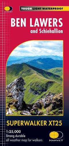
The map includes Ben Lawers, Schiehallion and the Tarmachan Ridge. Detailed map for hillwalkers at the popular 1:25,000 scale showing the hills between Loch Tay and Loch Rannoch. Landscape and wildlife information from the National Trust for Scotland Includes 16 Munros and 6 Corbetts. Tough, light, durable and 100% waterproof Genuine, original, HARVEY mapping Opens directly to either side of the sheet Easy to re-fold
Publisher information
- Publisher: Harvey Map Services Ltd
- ISBN: 9781851376544
- Dimensions: 243 x 116 mm
- Weight: 60g