
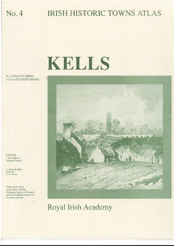
Kells: Irish Historic Towns Atlas, no. 4
Professor Anngret Simms (author), Professor Katharine SImms (with), Professor J.H. Andrews (series editor)
Map Published on: 10/01/1990
Price: £20.00
Synopsis
Number 4 in the Irish Historic Towns Atlas series, Kells illustrates the topographical development of this monastic town from earliest times to c. 1900. The histories of over 400 topographical sites are documented in the topographical gazetteer and the development of the town is discussed in an essay and illustrated with maps and images. It contains a coloured map 410 mm x 305 mm; 8 pages of black and white maps and plates; 12 pages of text 410 mm x 305 mm; in a folder 410 mm x 305 mm. Author: Anngret Simms with Katharine Simms; Series editors: J.H. Andrews, Anngret Simms; Cartographic editor: K.M. Davies
Publisher information
- Publisher: Royal Irish Academy
- ISBN: 9780901714848
- Number of pages: 22
- Dimensions: 410 x 305 x 5 mm
- Weight: 340g
- Languages: English
Customer Reviews
You may also like...
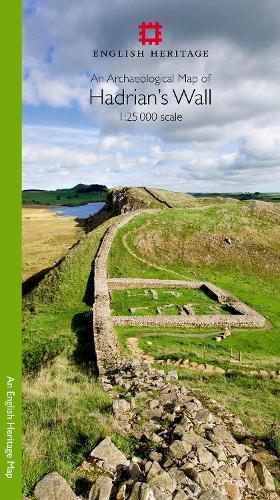
An Archaeological Map of Hadrian's Wall
Price: £11.99
Historic Maps of Armenia
Price: £19.95
The Historical Atlas of the Celtic World
Price: £19.99
Atlas of Medieval Europe
Price: £37.99

Bedrock Geology UK South
Price: £12.95
The Penguin Atlas of African History
Price: £12.99

Geological Map of the British Islands
Price: £5.95
Knoydart
Price: £18.95
California, Automap 1:600.000
Price: £12.90

Vancouver & Greater Vancouver
Price: £10.00
Northern Highlands of Scotland
Price: £15.00
Maynooth
Price: £20.00

Serbia South, Automap 1:200.000
Price: £12.90